Geotourism
Geotrails
Routes that connect geosites into one story, from the summit caldera to the coast.
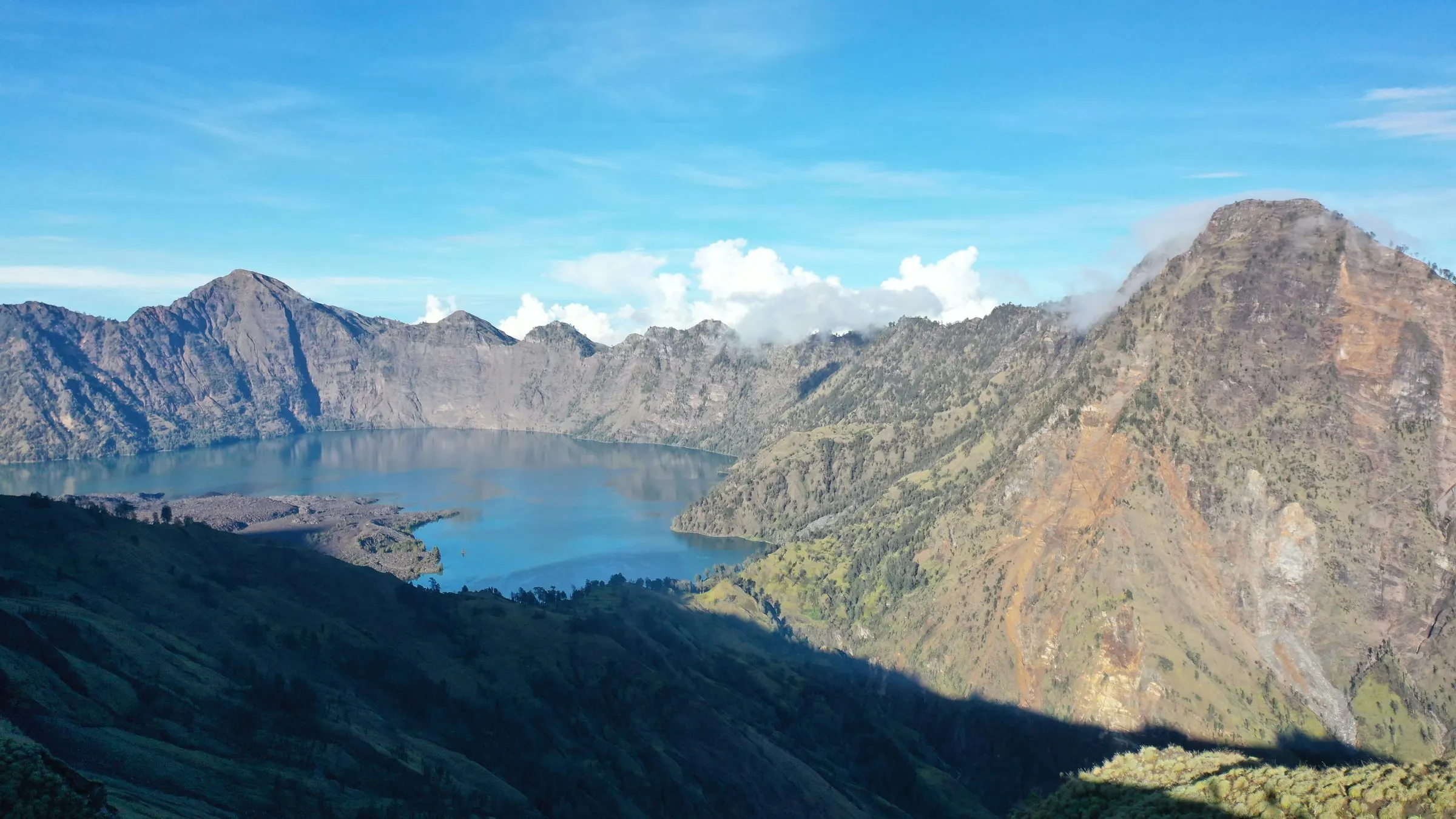
A geotrail links several geosites so that a visitor sees how they relate: the eruption that formed the caldera, the water that flows from it, and the villages and temples that grew up around that water. The routes below are a starting point for planning a visit.
[VERIFY: replace with the Geopark's official geotrails, with maps and interpretation boards, once confirmed]
Five ways to read the landscape
| Trail | What you will see |
|---|---|
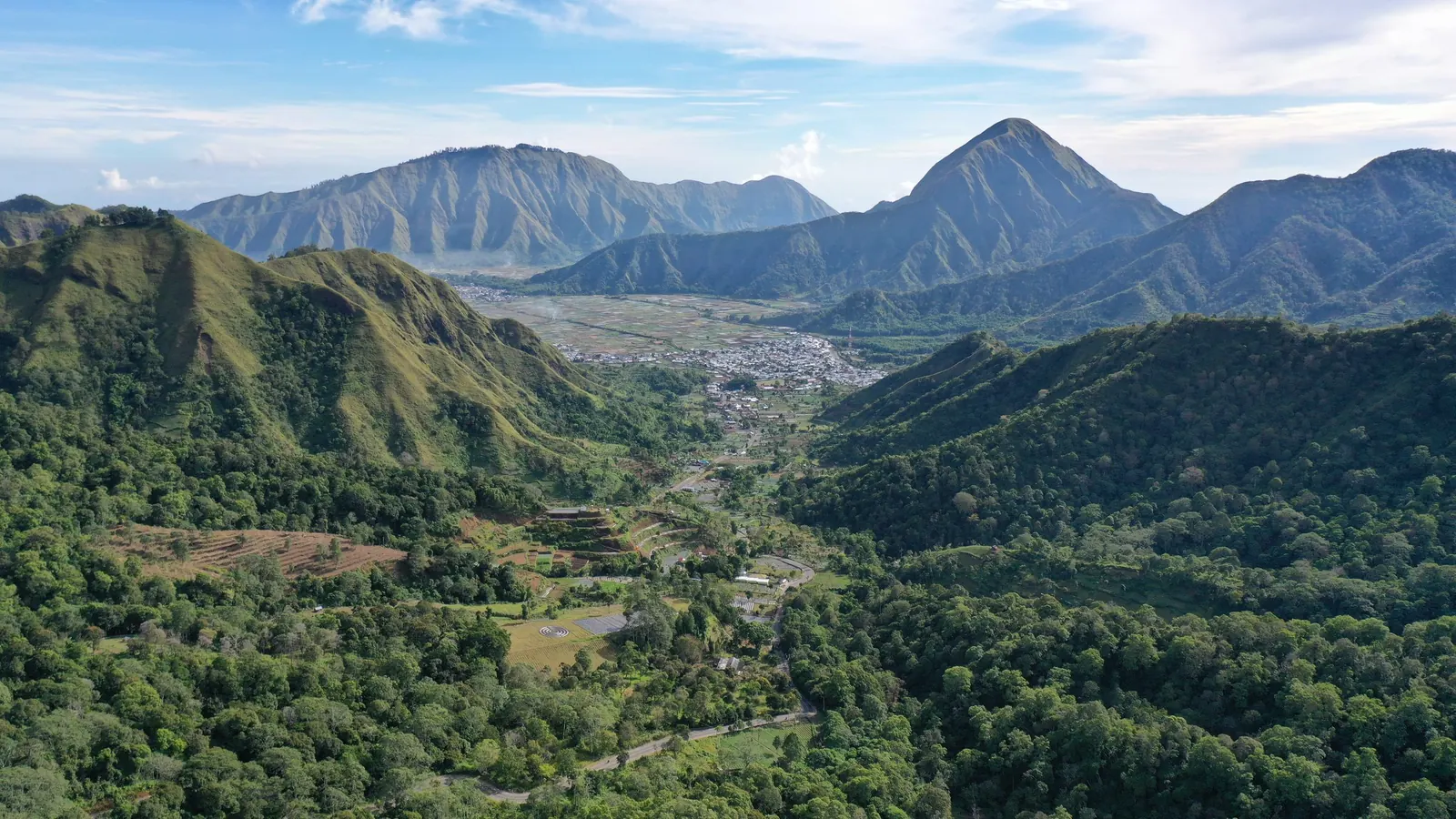
| The caldera trail | Sembalun to Senaru across the rim of the Samalas caldera, down to Segara Anak lake and its hot springs. Two to four days, with a registered guide. Geosites: Sembalun Valley, Caldera of Samalas, Segara Anak Lake, Barujari Volcano. |
| The northern culture trail | The Sasak villages and ancient mosques of Bayan, and the waterfalls on the mountain's northern slope. One to two days. Geosites: Bayan Beleq Mosque, Senaru traditional villages, Segenter, Gumantar Ancient Mosque, Bayan waterfall. |
| The west coast trail | Black volcanic sand beaches between Senggigi and Malimbu, the temple of Batu Bolong and the coral islands of the Gili Matra. One day, by road and boat. Geosites: Batu Bolong, Kerandangan, Malimbu, Gili Matra. |
| The springs and temples trail | Water that falls on Rinjani and emerges as springs in the lowlands, and the temples and gardens built around them. One day from Mataram. Geosites: Narmada Park, Suranadi Temple, Lingsar Temple, Nuraksa Sesaot. |
| The southern slope waterfalls | Waterfalls and forest on the southern and eastern slopes, from Aik Berik to Kotaraja. One to two days. Geosites: Aik Berik, Joben, Jeruk Manis, Kotaraja Mosque. |