
Rinjani-Lombok UNESCO Global Geopark
A living landscape, read through its rocks
In 1257 the Samalas volcano erupted with a force felt around the world. Its caldera, Mount Rinjani and the land around them have been a UNESCO Global Geopark since 2018.
- 2018
- Designated a UNESCO Global Geopark
- 2,850 km²
- Geopark area across Lombok
- 47
- Geosites: 22 geological, 17 cultural and 8 biological
- 2026
- Green Card certificate received at UNESCO, after the 2025 revalidation
The eruption that buried a kingdom
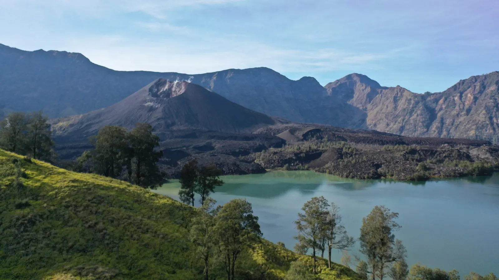
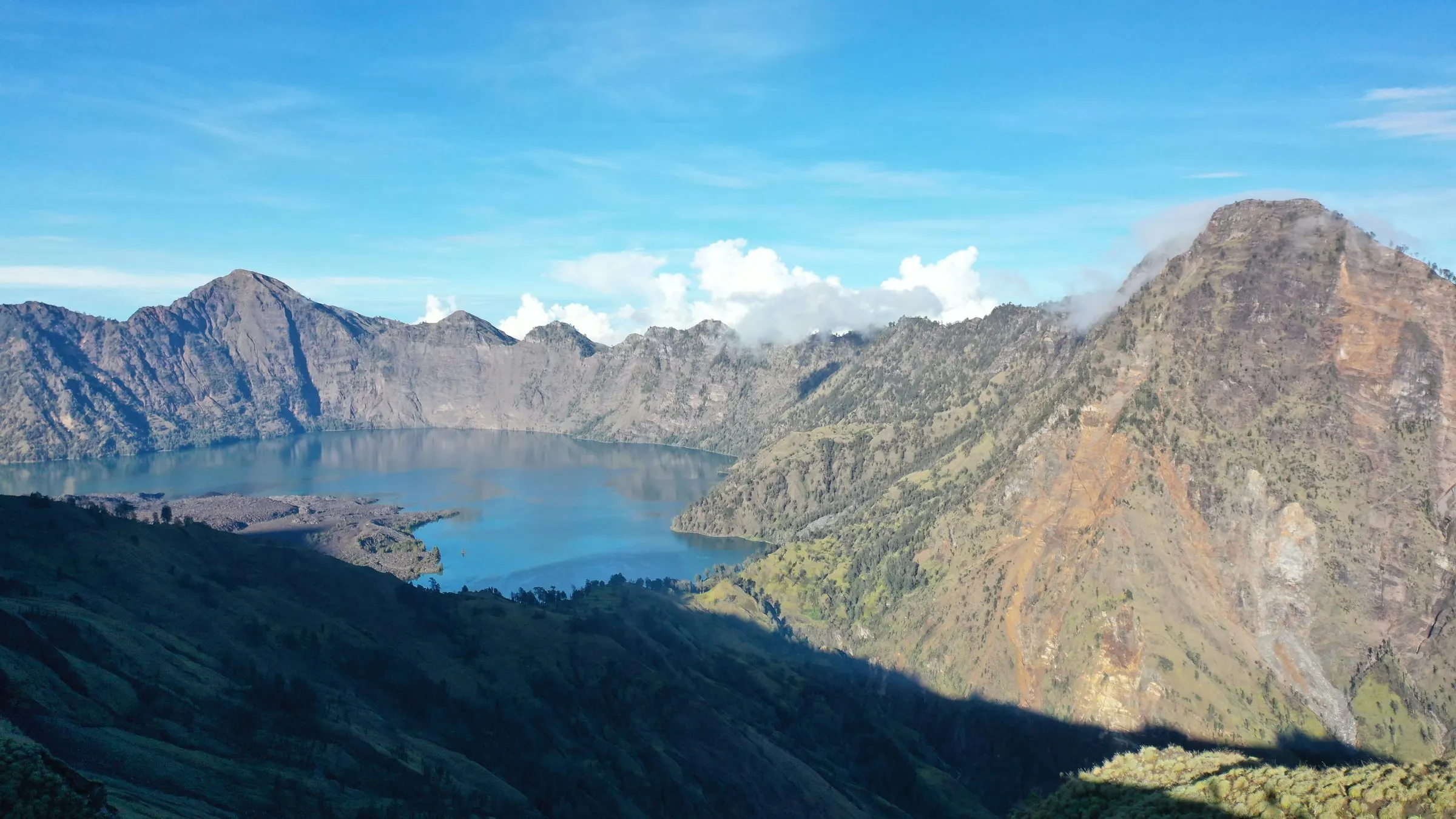
Samalas was a volcano that stood beside today's Mount Rinjani. When it erupted in 1257 it collapsed into the caldera that now holds Segara Anak lake. Ash and pumice buried the City of Pamatan, the seat of an old Lombok kingdom, and sulphur from the eruption reached the ice at both poles.
The Geopark tells this story through the places where it can still be read: the caldera rim, the new Barujari cone rising from the lake, the pumice deposits, waterfalls and caves on the slopes, and the volcanic beaches on the coast.
Three kinds of geosite
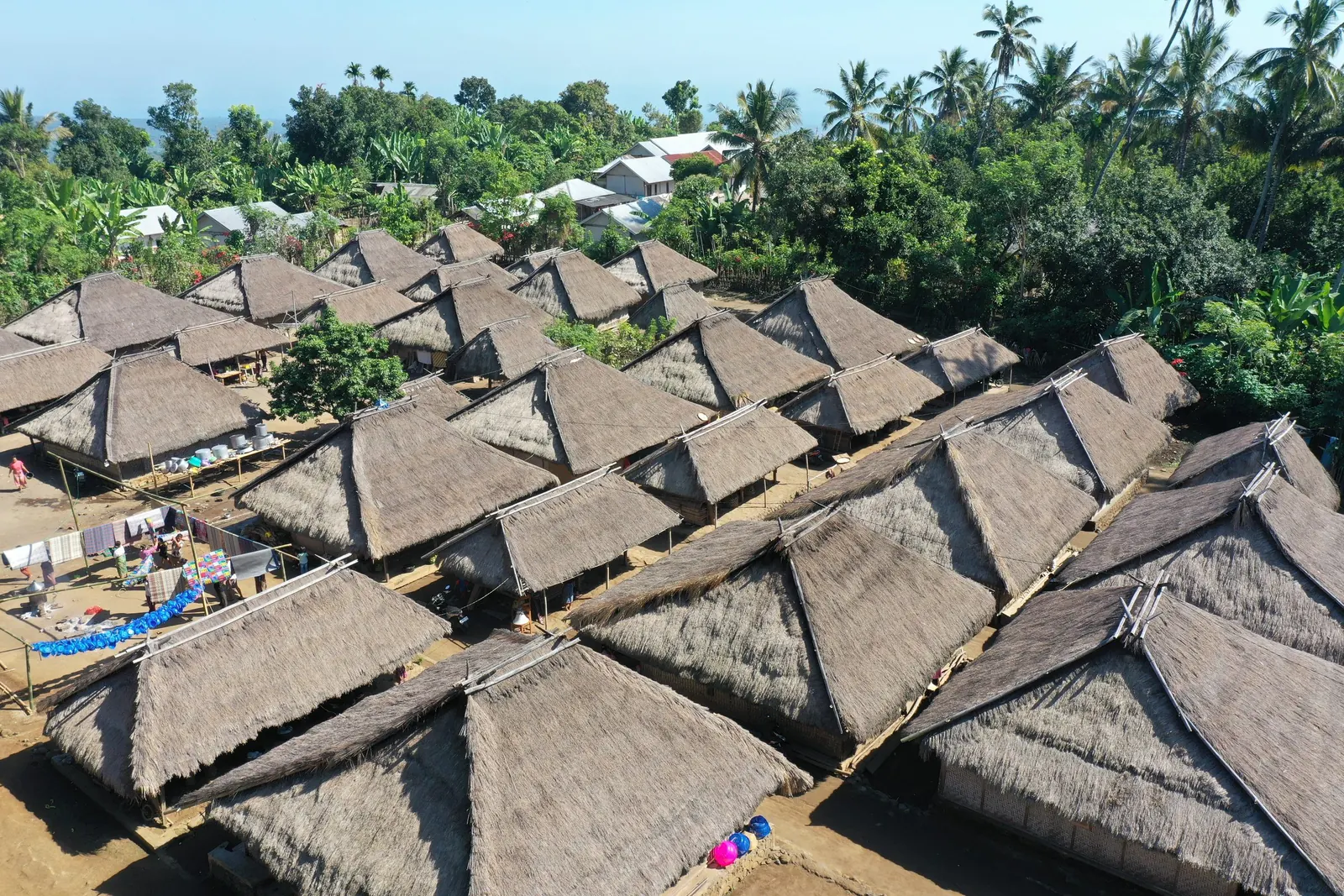
Geology comes first in a Geopark, but it is never alone: the same landscape shapes ecosystems and culture.
Visit the Geopark
News from the Geopark
All news
Provincial Government of Northwest Papua Conducts a Study Visit to Rinjani-Lombok to Learn About Biosphere Reserve Governance and Management
NTB Province Launches the Rinjani Geopark Information Centre, Governor Iqbal Commits to its use for Supporting Small Businesses Across the Rinjani Landscape
Rinjani-Lombok Retains its Green Card Status, Remains as a UNESCO Global Geopark for the Next Four Years
Part of the Rinjani-Lombok family
Rinjani-Lombok MIDAS
The Management Agency that governs both designations: its programmes, plans, partners and people.
Visit rinjanilombok.org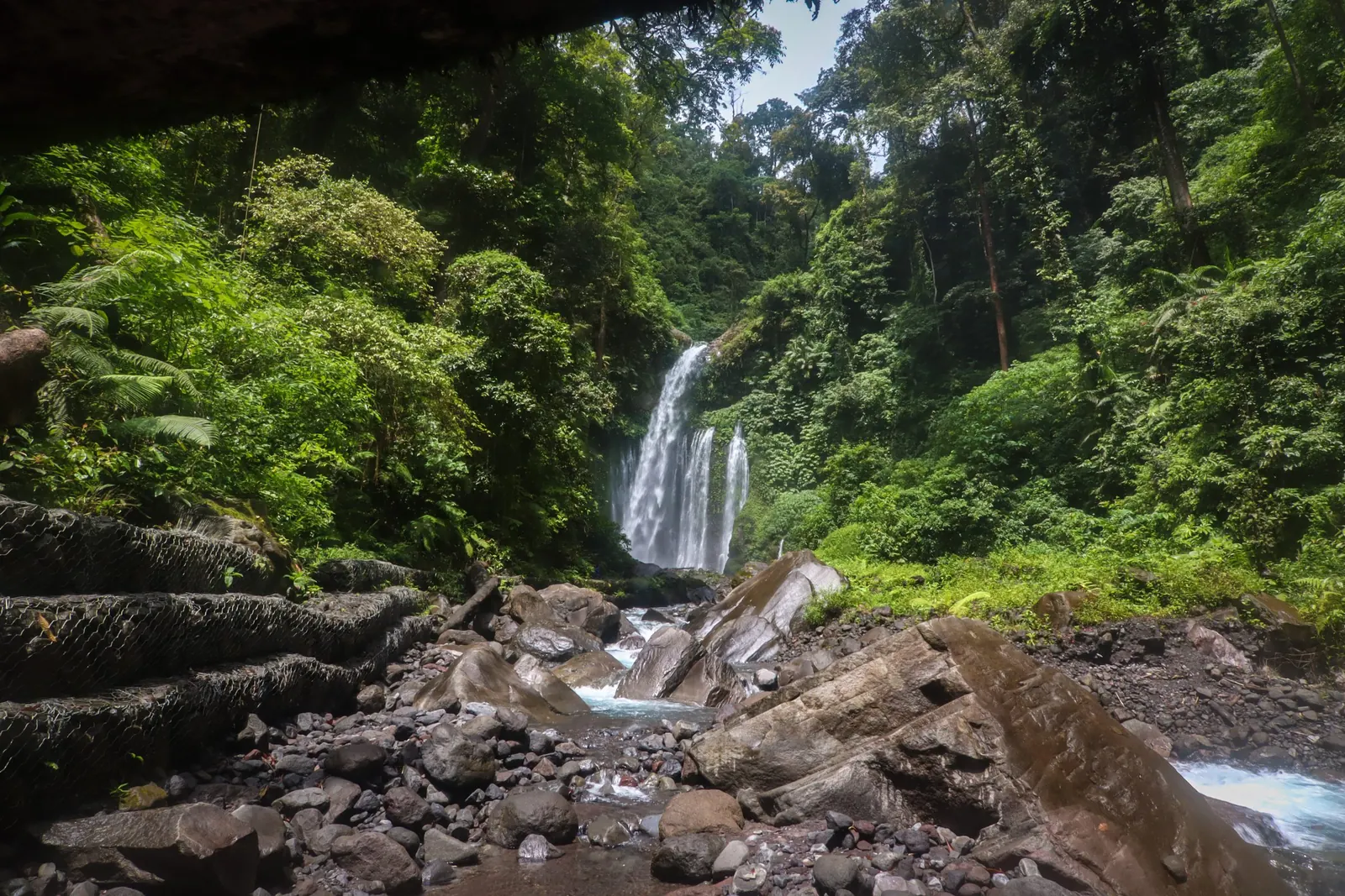
UNESCO Biosphere Reserve
The whole island of Lombok, zoned so that nature is protected and communities thrive from the summit to the reef.
Visit the Biosphere Reserve website