Geological Story
How a subduction-zone volcano built an island, destroyed itself in 1257, and began to grow again.
An island built by volcanoes
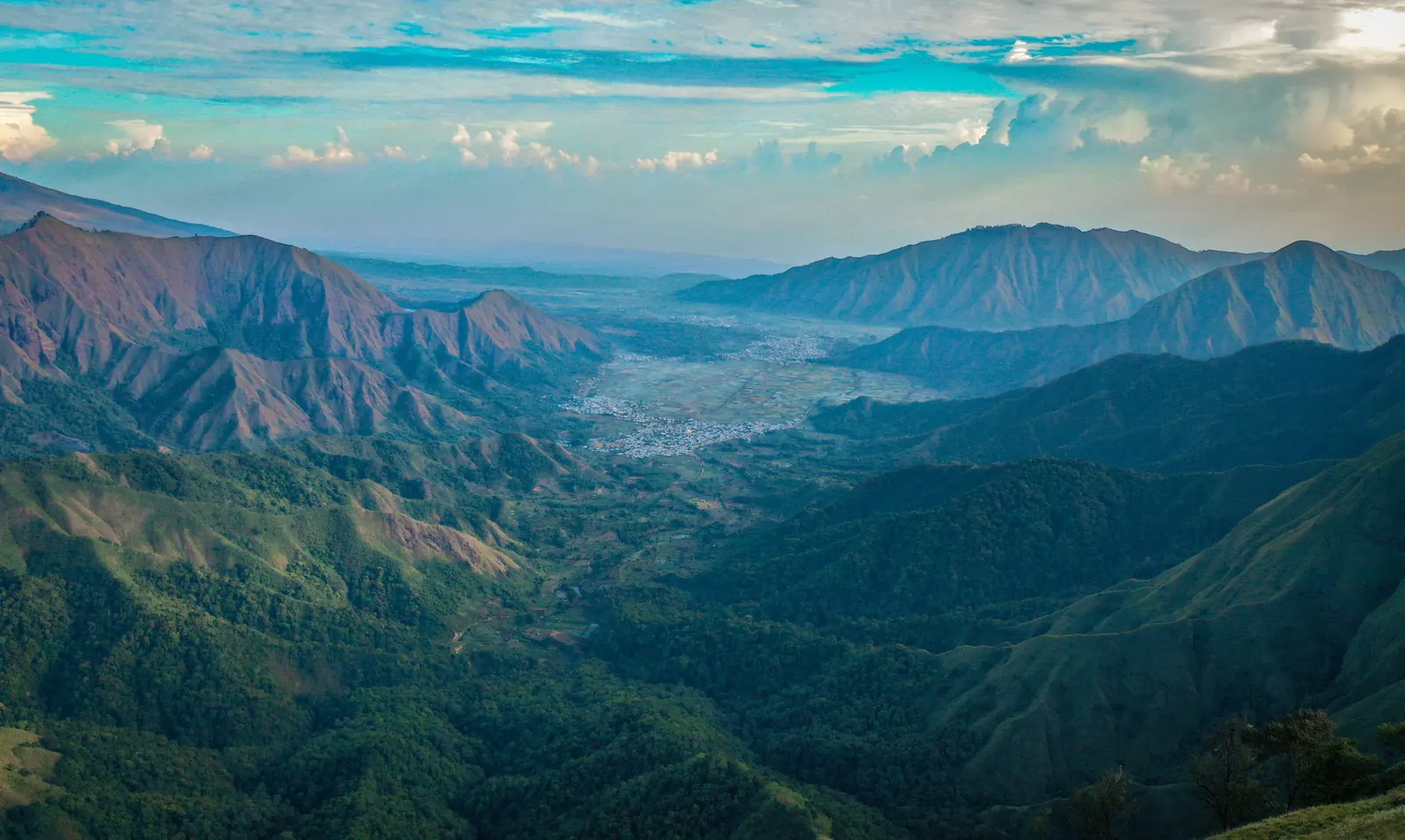
Lombok is part of the Sunda volcanic arc, formed where the Indo-Australian plate sinks beneath the Eurasian plate. Magma rising from that collision built the volcanoes of the island's north, the largest of which is Mount Rinjani, at 3,726 m one of the highest volcanoes in Indonesia.
The eruption of 1257
Beside Rinjani stood another volcano, Samalas, estimated to have been around 4,200 m high. In 1257 it erupted with enormous force: research led by Lavigne and colleagues (2013) estimates some 40 km³ of material and an eruption column up to 43 km high, making it one of the largest eruptions of the last several thousand years. Its sulphur is found in the ice of both Greenland and Antarctica.
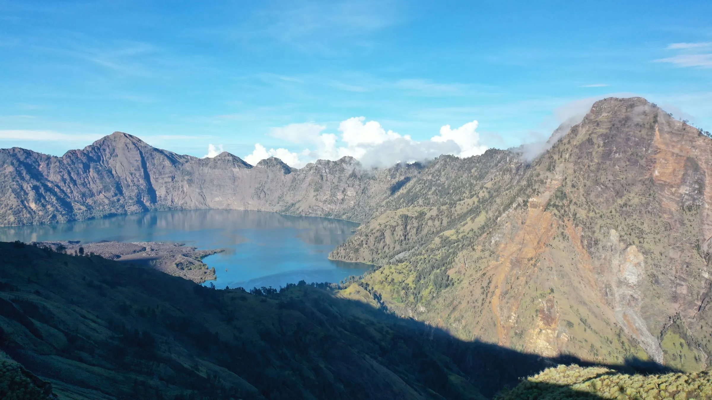
The eruption emptied the volcano, which collapsed into a caldera about 6 by 8.5 km across and some 800 m deep. Ash and pumice buried the land around it, including Pamatan, the seat of an old Lombok kingdom.
A new volcano in the lake
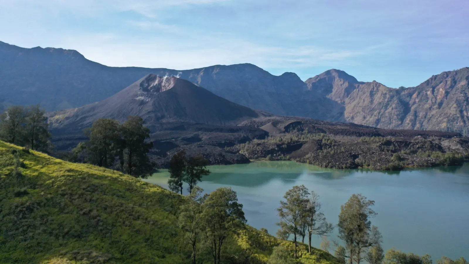
The caldera filled with water to become Segara Anak lake. From its eastern side the young Barujari cone has grown up and remains active, with eruptions in recent decades. Around the mountain, hot springs, caves, waterfalls and the volcanic beaches of the coast are all part of the same story.